An Overview at the Overlook (Part 1: Geology)
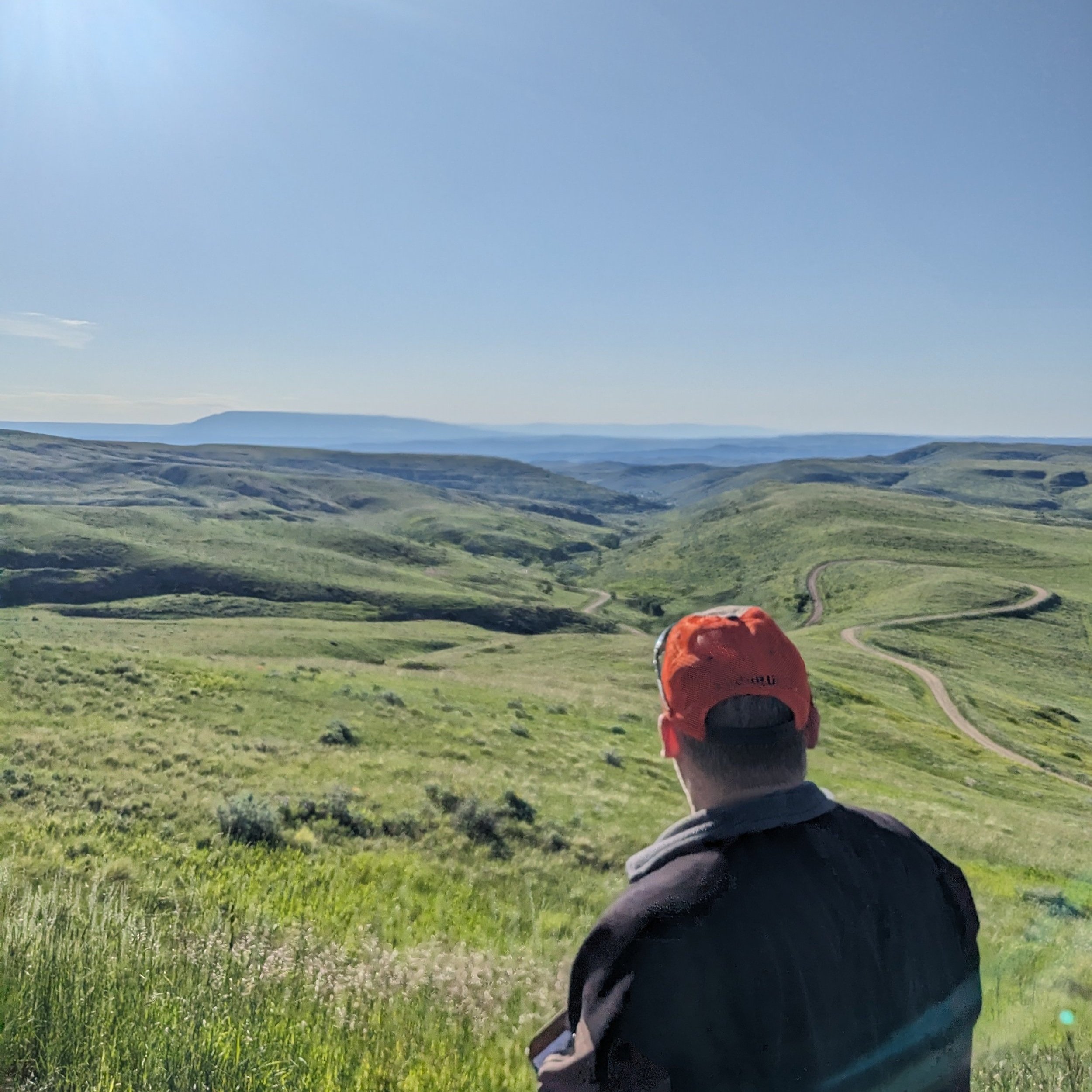
Jason Schein looking out to the scenic overlook valley. Field season 2023. Photo by Skye Walker.
Each Monday morning throughout the field season, our first stop on our way to the field sites is at a scenic overlook just outside of Red Lodge. While the view wonderfully encompasses so much of the diverse landscapes and ecosystems that surround us, it’s also a great place to absorb the deep and fascinating cultural history of the region. I have often been asked to go into a little more depth than we normally have time for on those cool Monday mornings, and the end result is a three-part blog series about some of my favorite topics. If you’ve joined us in the field for years, this will be pretty familiar to you, but I bet you’ll still learn a few new things. Enjoy!

Overlooking this valley, we’re at the north/northwestern-most point of the the surface extent of the Bighorn Basin. I say the ‘surface extent’ because underground, geologically, the structural basin extends several more miles to the north. But for all intents and purposes, we’re at the northern tip and everything you see before you, and beyond for quite a ways, is the Bighorn Basin.
The Basin is surrounded by six distinct mountain ranges - the big lump to the East are the Pryor Mountains, and moving clockwise around the Basin are the Bighorns, which you can see from this spot only on the clearest days, the Bridgers and Owl Creek mountains on the south end, the Absarokas on the western edge, and the Beartooths behind us on the northwest corner.
Each of these mountain ranges were formed beginning around 70 million years ago as part of the Laramide Orogeny, when the Pacific tectonic plate was crashing into the western edge of North America, either folding or buckling the rocks, like with the Pryors, or melting parts of that subducting Pacific plate, which then pushed upwards to form volcanoes, like with the Absarokas.

Visualization of the Western Interior Seaway
One of the things that makes the Bighorn Basin special is that this region has been one giant sedimentary environment, almost continuously, for the last half billion years. Sedimentary environments are ones in which sediments - small particles of other rocks and minerals, like sand and clay, are deposited in layers, usually at the bottoms of lakes, rivers, or the ocean. So for most of the last 500 million years, successive oceans (e.g., Sundance Sea, Western Interior Sea, etc.) and enormous river systems (e.g., the Morrison Ecosystem) have covered the region, depositing layer upon layer of sediment that eventually hardened into stone. There aren’t many places on Earth where there is a record of 500 million years of continuous sedimentation.
But, those layers remained flat until these mountains started pushing up 70 million years ago. When they did, they bent the layers up where they abut the mountains, but also flexed the area between them downward, into an enormous bowl. It’s an asymmetrical bowl - extending nearly 4 miles deep below the ground surface on the western edge - but a bowl nonetheless, and the result is that now all of those previously inaccessible layers beneath the surface have been tilted up toward the outside of the bowl, leaving what kind of looks like concentric rings of outcropping rocks.
You can actually see the topographic bowl of the Basin from space and on weather maps - as soon as you get down there you’ll see why. The elevation - much lower than the surrounding mountains - significantly affects the weather here. The Basin receives a small fraction of the precipitation than the surrounding landscape and averages about 10 degrees (F) warmer at any given moment.
So the result is that you can walk from the middle of the basin in any direction and walk over successively younger rocks. And THIS is what makes the Basin really special - there are few other places in the world that record an almost uninterrupted record of sedimentation over the last half billion years, that are ALSO exposed at the surface. Because it’s not just about the rocks. Sedimentary rocks record all kinds of information about the environment and ecosystems in which they were formed - the plant and animal life, temperatures, atmospheric conditions, topography and landforms, and on and on and on. So think about that. Normally in paleontology if we want to study long term changes in, say, the evolution of mammals on the planet, or how climate has changed over the last 500 million years, you’d normally have to cobble together a record of rocks from all over the world to amass samples that represent all of that time. But here, you can cobble together a record of all of that change from one geographic location in one day- simply by walking through the Basin. Almost nowhere else on the planet do we have all of these resources so readily accessible! This is why the Bighorn Basin is considered one of the finest natural laboratories in the world!
What we haven’t yet talked about is the vast paleontological record found throughout the Basin, but Skye will delve into that in her own series of posts. We have talked about the wonderful variety of modern ecosystems and their inhabitants throughout the Basin and surrounding terrain, but now that we’re expanding our vision of citizen science into those other natural history realms, we’ll have much more to say about that elsewhere. As I mentioned before, there’s only so much time we have on those Monday mornings before we finally get to the awaiting dinosaurs!
Instead, in Part 2 of this series, we’ll talk about the human geography of the region, and how the geology plays an outsized role in the region’s inhabitants and commerce.